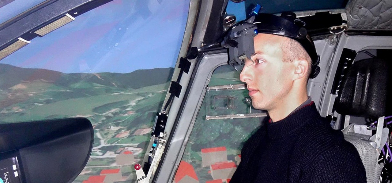

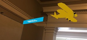
While flying isn't easy, once an airplane gets into the clouds there isn't a whole lot to worry about—most of the work happens during takeoff and landing. Helicopter pilots, on the other hand, have a lot of dangerous obstacles (like power lines and buildings) to contend with. But, once again, augmented reality can save the day.
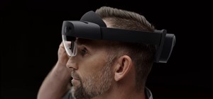
According to GizMag, the Technical University of Munich (TUM)—who had already created x-ray augmented reality tech for surgeons—designed a new headset that utilizes light detection and ranging (LiDAR) sensors to map out the surrounding area.
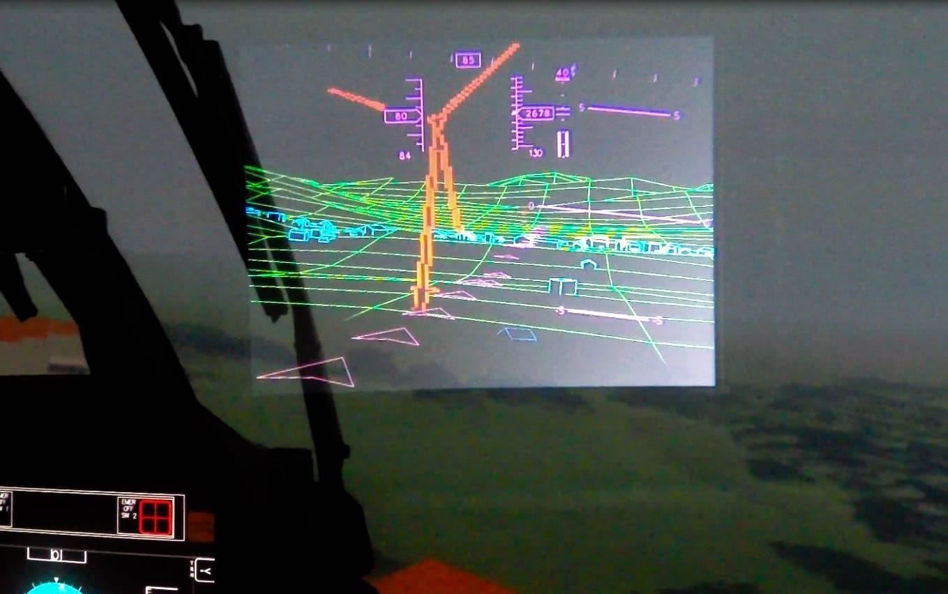
LiDAR bounces pulses of laser light off the surrounding terrain, reads the signals that come back and creates a 3D map of the area. In the TUM system, LiDAR sensors would be attached to a helicopter's skids, the rails on which it lands.
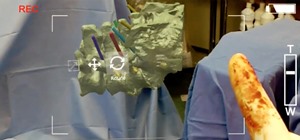
You can take a look at what the pilots see in the video below.
While only used in simulations so far, pilots testing TUM's system have found that the headset makes flying less demanding both physically and mentally since they can help them see through clouds, fog, dust, and snow. This is promising, but because the sensors need to exist on the actual helicopter the industry has to want to support it. That may be an uphill battle, but certainly one worth fighting if augmented reality can make the skies significantly safer.
In the first half of last year, there were 46 civil helicopter accidents in the United States. Annually, there's about 500 civil helicopter accidents worldwide.
Just updated your iPhone? You'll find new emoji, enhanced security, podcast transcripts, Apple Cash virtual numbers, and other useful features. There are even new additions hidden within Safari. Find out what's new and changed on your iPhone with the iOS 17.4 update.


Be the First to Comment
Share Your Thoughts